
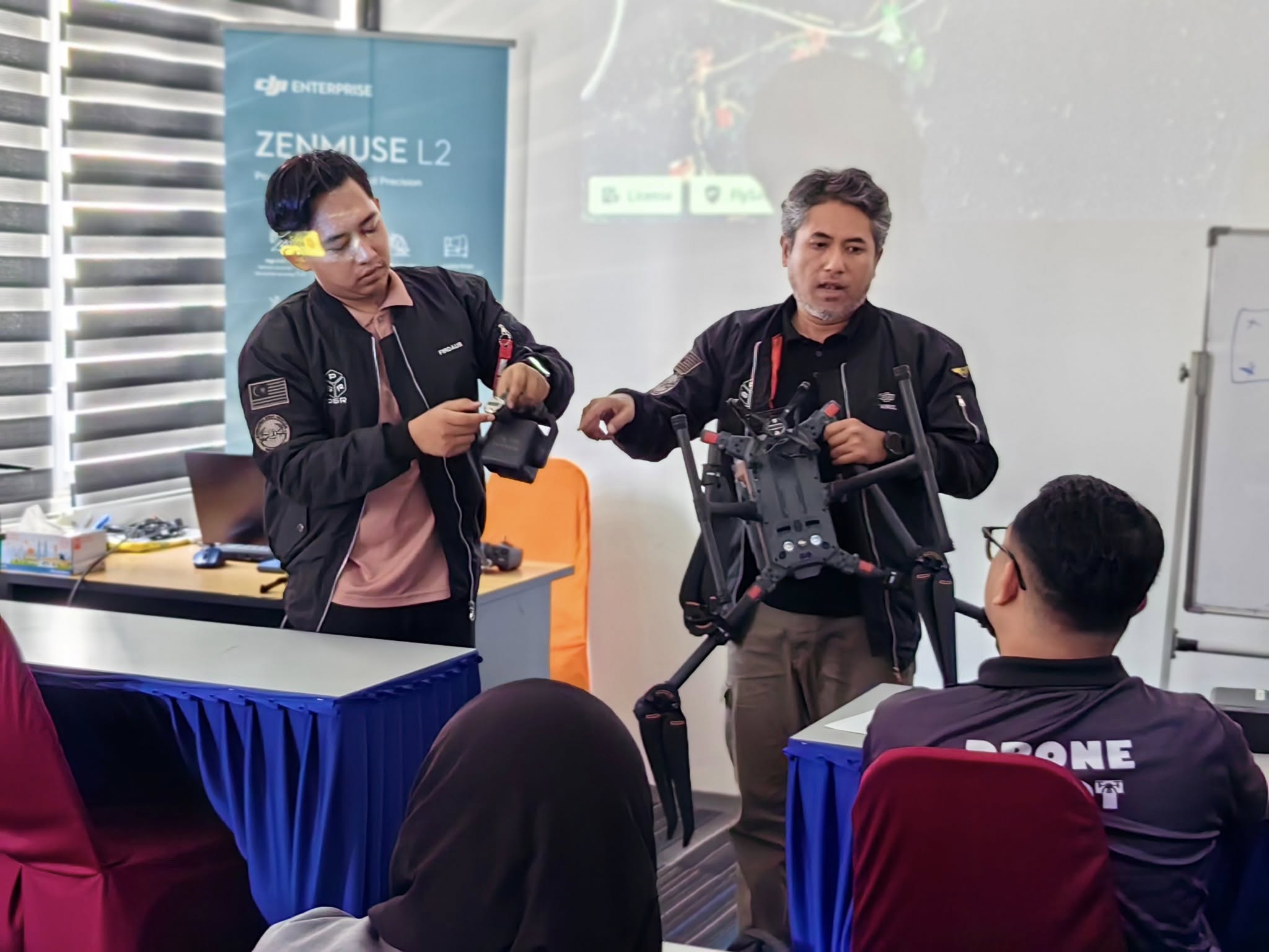
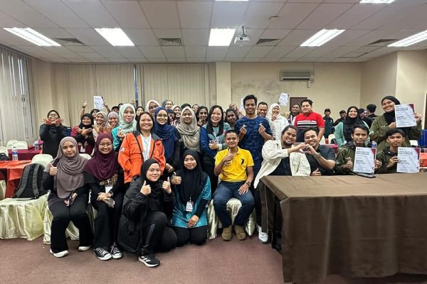
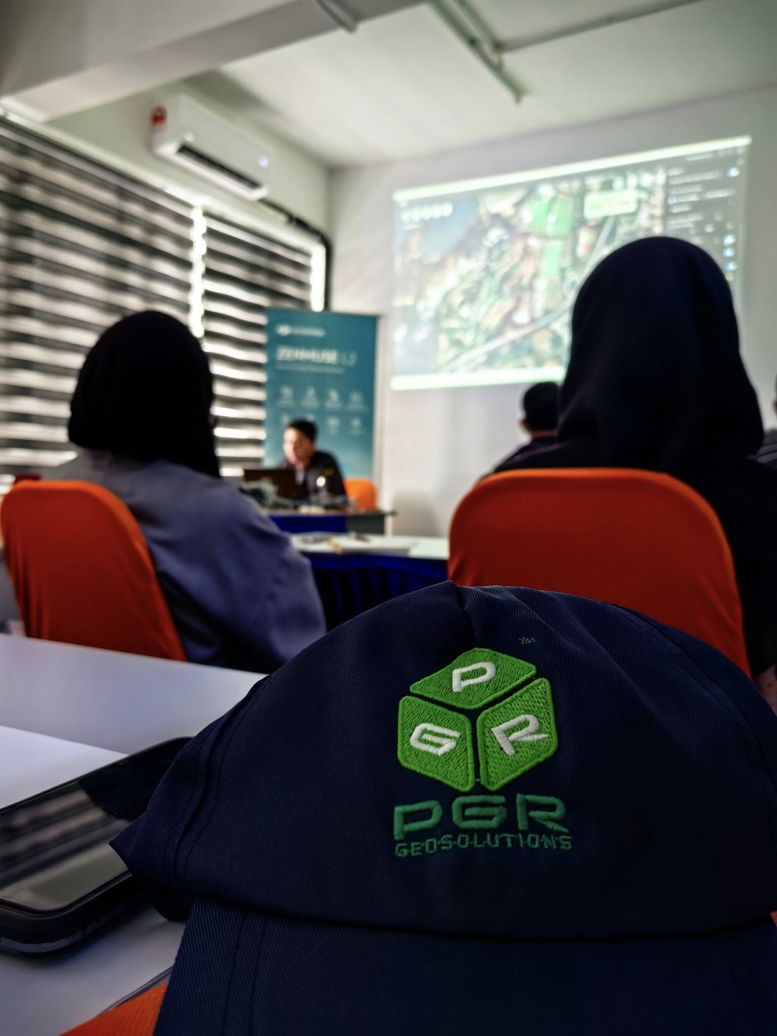
On 15 March 2025, Prestige Geomatic Resources (PGR) successfully conducted an intensive hands-on training titled “Mastering LiDAR Mapping: From Data Collection to Point Cloud Analysis” at Putrajaya. The session attracted participants from diverse geospatial backgrounds, all eager to enhance their expertise in LiDAR technology and drone-based surveying.
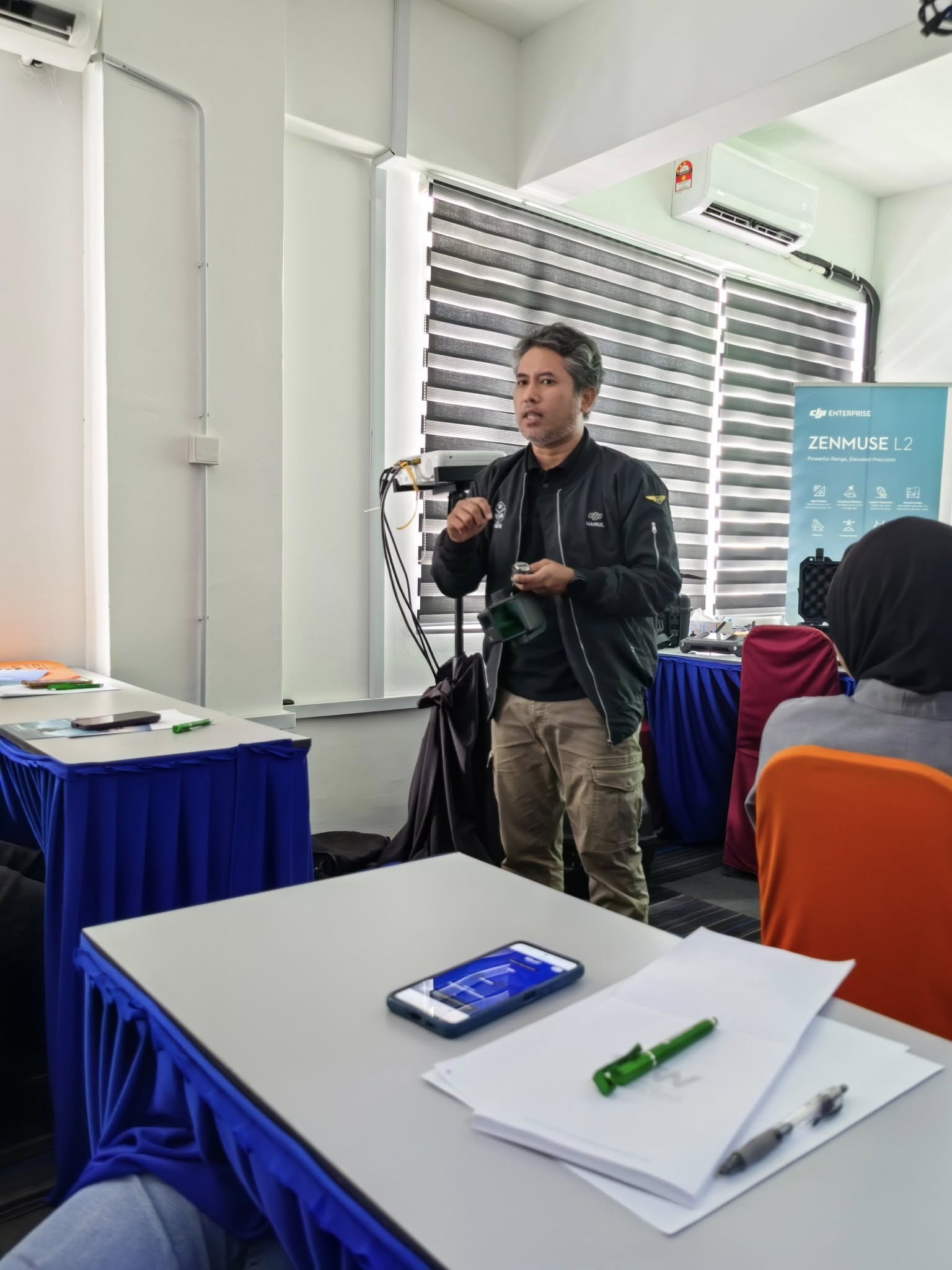
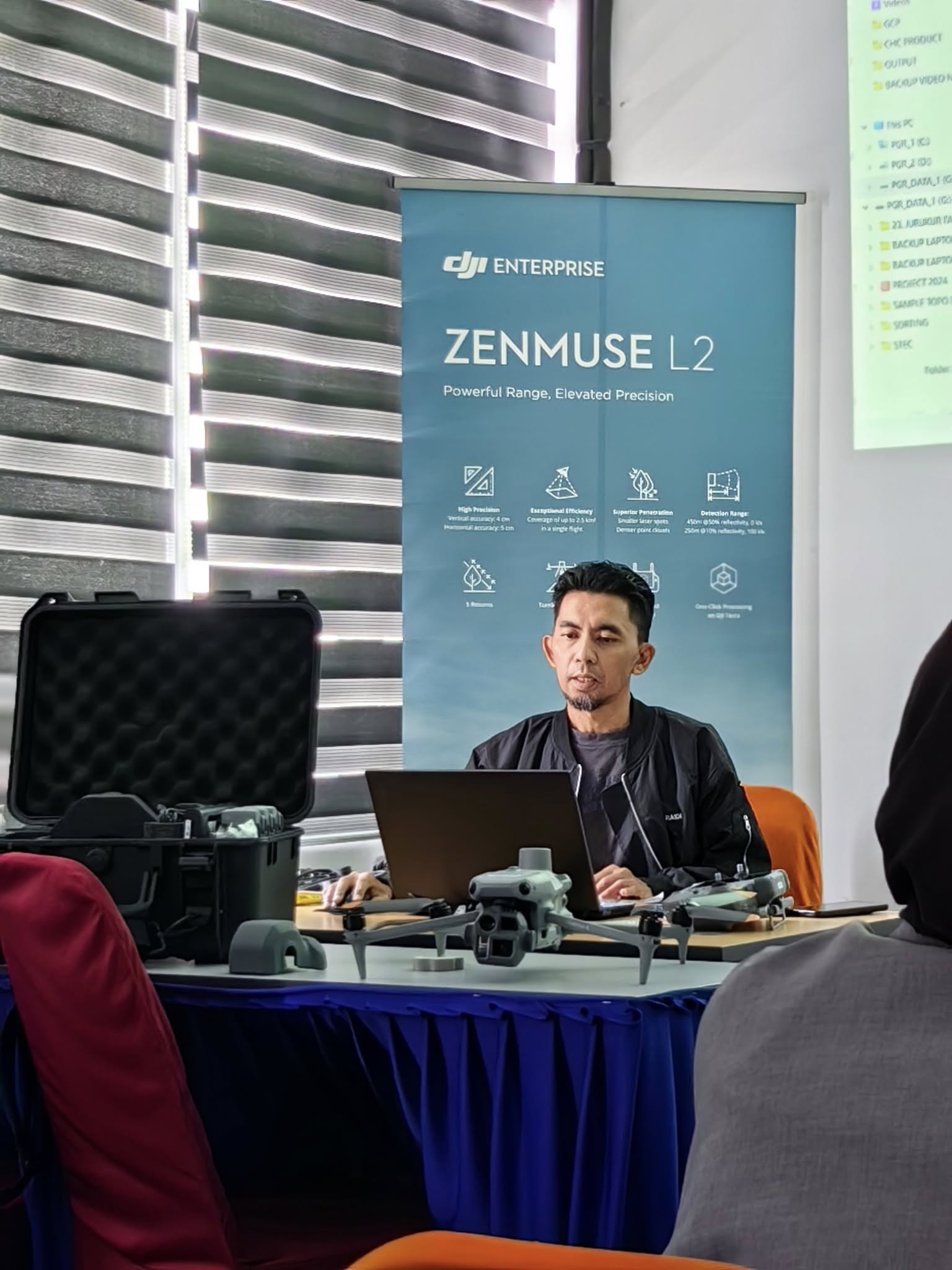
Led by experienced trainer Mohd Hairul Fadli, a certified Train-The-Trainer (TTT) and RCoC-B instructor, the one-day training provided comprehensive exposure to DJI Zenmuse L2 operations, RTK/PPK setup, flight planning, data acquisition, and point cloud processing using DJI Terra and supporting software.
🛠️ Highlights of the Training:
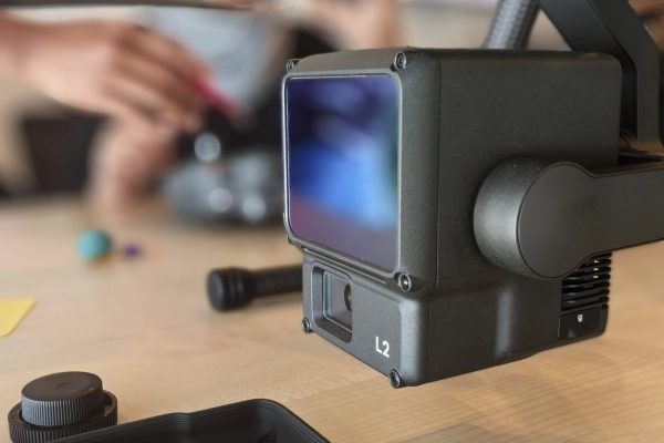
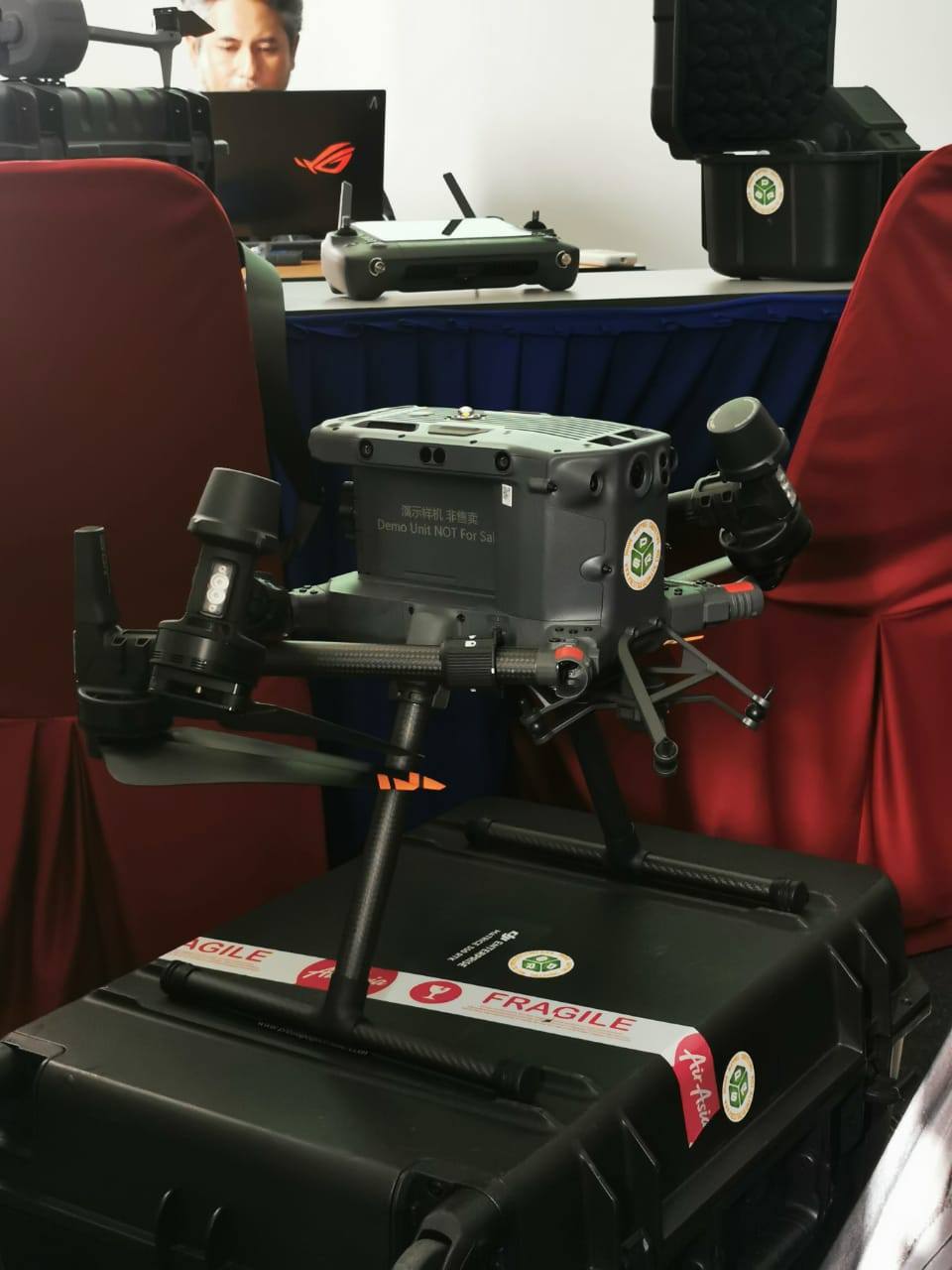
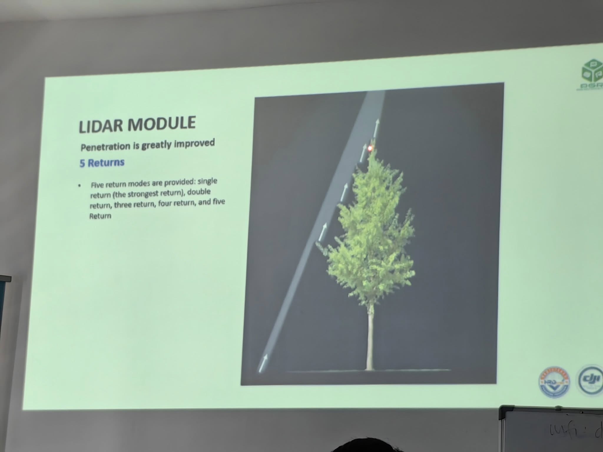
Real-time calibration and configuration of the DJI Zenmuse L2
Field demonstrations for accurate LiDAR data acquisition
Step-by-step DEM extraction and point cloud analysis
Practical insights into multispectral vs LiDAR applications in geospatial work
🎯 Why It Mattered:
The training empowered attendees with practical skills and workflows essential for precision mapping, infrastructure surveys, and terrain modeling. It also encouraged networking among professionals in the surveying and remote sensing industry.
👏 Kudos to all participants for their enthusiasm, and thank you for making this session impactful. We look forward to welcoming you to more advanced trainings and projects in the near future!
#PGRTraining #LiDARMapping #DJIZenmuseL2 #Geospatial #DroneSurvey #PointCloud #PrecisionMapping #RemoteSensing #DroneLiDAR #PostEvent #Putrajaya
