
Supporting Brunei’s Geospatial Growth
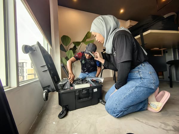
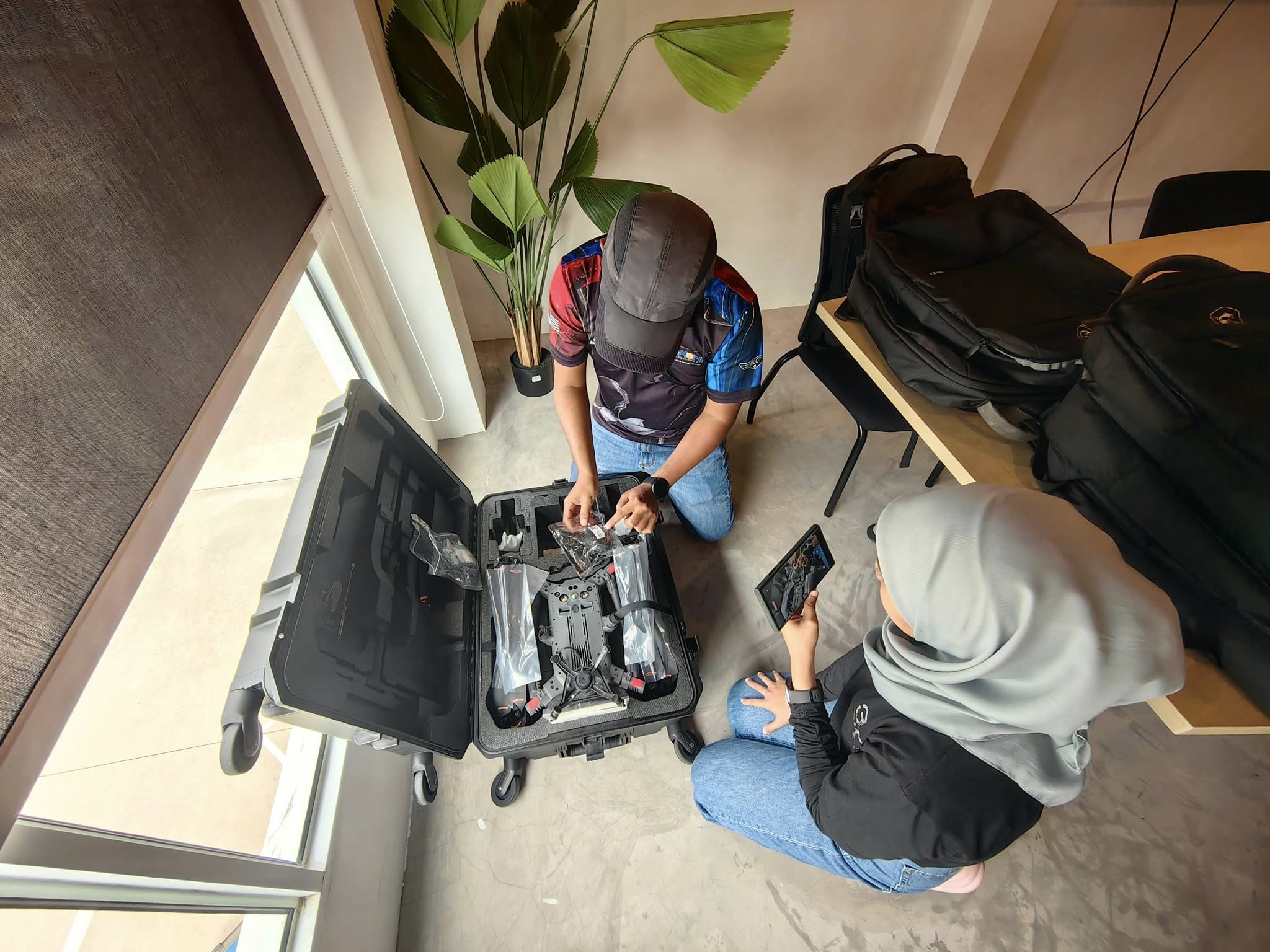
Our client in Brunei is involved in nation-building infrastructure projects and environmental management, and they required a reliable aerial LiDAR system that could meet their rigorous standards. After assessing several solutions, the Matrice 350 RTK + Zenmuse L2 proved to be the perfect fit for their operational needs and geographic challenges.
By adopting this advanced aerial platform, they now gain the ability to:
Reduce time and labor costs compared to traditional ground surveys
Capture dense vegetation and terrain data without compromising quality
Increase safety by minimizing boots-on-the-ground field time
Integrate seamlessly with post-processing workflows using DJI Terra and other GIS software
We’re excited to see how this system will contribute to smarter planning, better decision-making, and more sustainable development in Brunei.
🔧 Beyond Delivery: Ongoing Support & Expertise
At Prestige Geomatic Resources, our job doesn’t stop at hardware delivery. We ensure:
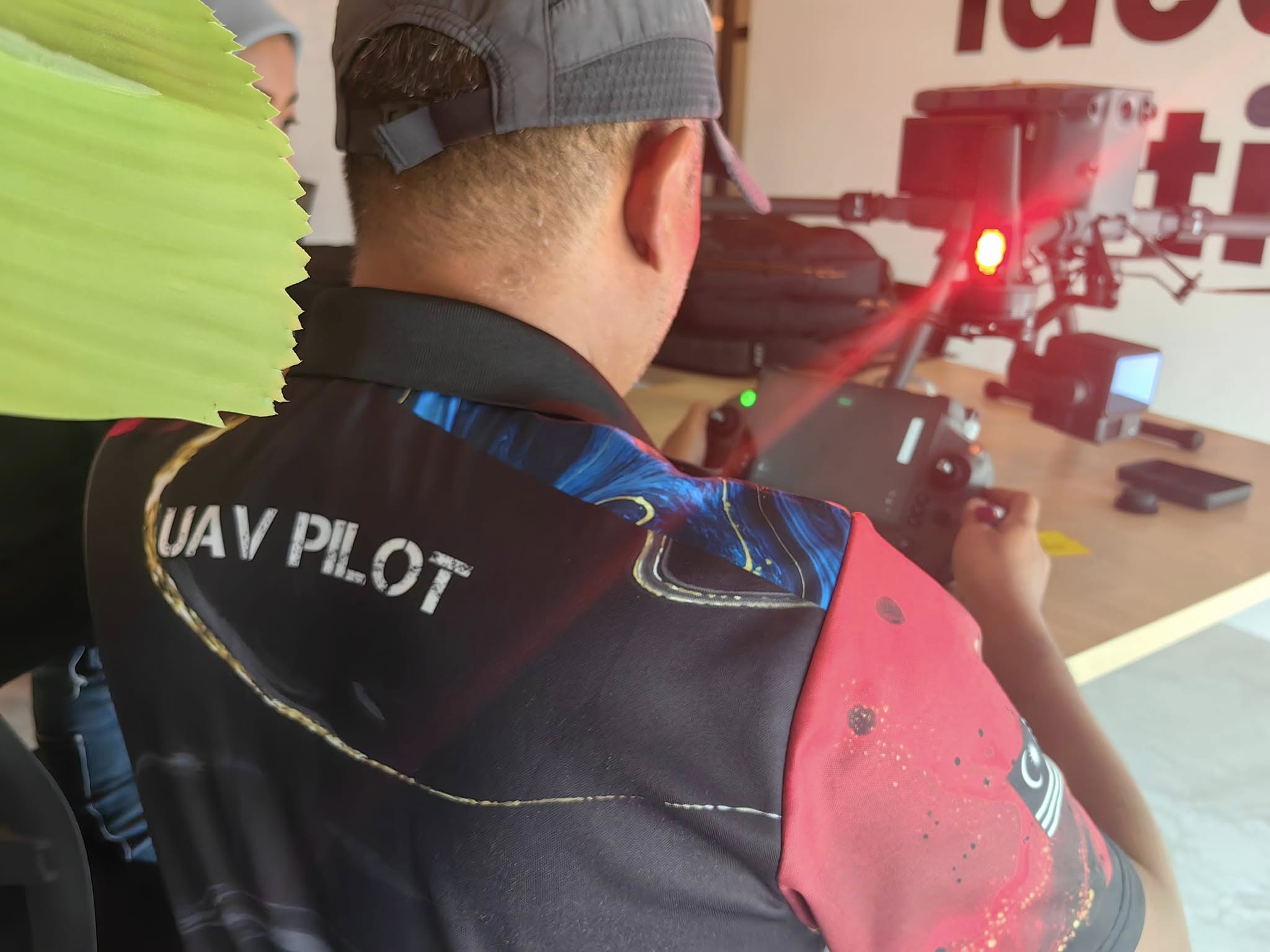
Full technical onboarding & training
Local & regional after-sales support
Consultation on data acquisition strategies
Integration with geospatial software platforms
Continuous updates on drone and LiDAR technology trends
Whether you’re a survey firm, engineering consultant, government agency, or infrastructure developer, we help you harness the power of LiDAR and aerial intelligence from planning to execution.
