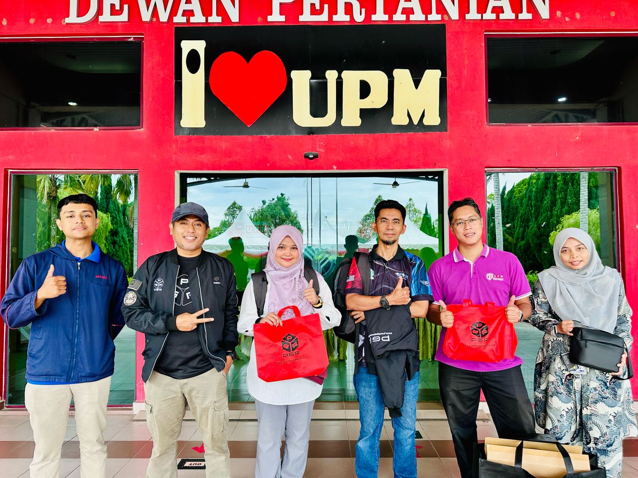
Prestige Geomatic Resources (PGR) recently had the privilege of conducting a Multispectral Imaging Training at the Faculty of Agriculture, Universiti Putra Malaysia (UPM), Serdang — spotlighting the incredible potential of the DJI Mavic 3 Multispectral drone in transforming modern agriculture.
Through this hands-on training, participants explored the full capabilities of multispectral drone technology — learning how to capture and analyze high-resolution multispectral data to assess crop health, detect stress, and enhance yield optimization.
This initiative supports the advancement of precision agriculture and the wider adoption of smart farming practices, where data-driven insights lead to more efficient, sustainable, and profitable farm management.
A big congratulations to all the enthusiastic participants who are now equipped to lead the way in agritech innovation using drone-based remote sensing!
#PGRTraining #PrecisionAgriculture #Mavic3Multispectral #MultispectralImaging #SmartFarming #UPMSerdang #DroneTechnology #AgriTech #RemoteSensing #FarmingInnovation