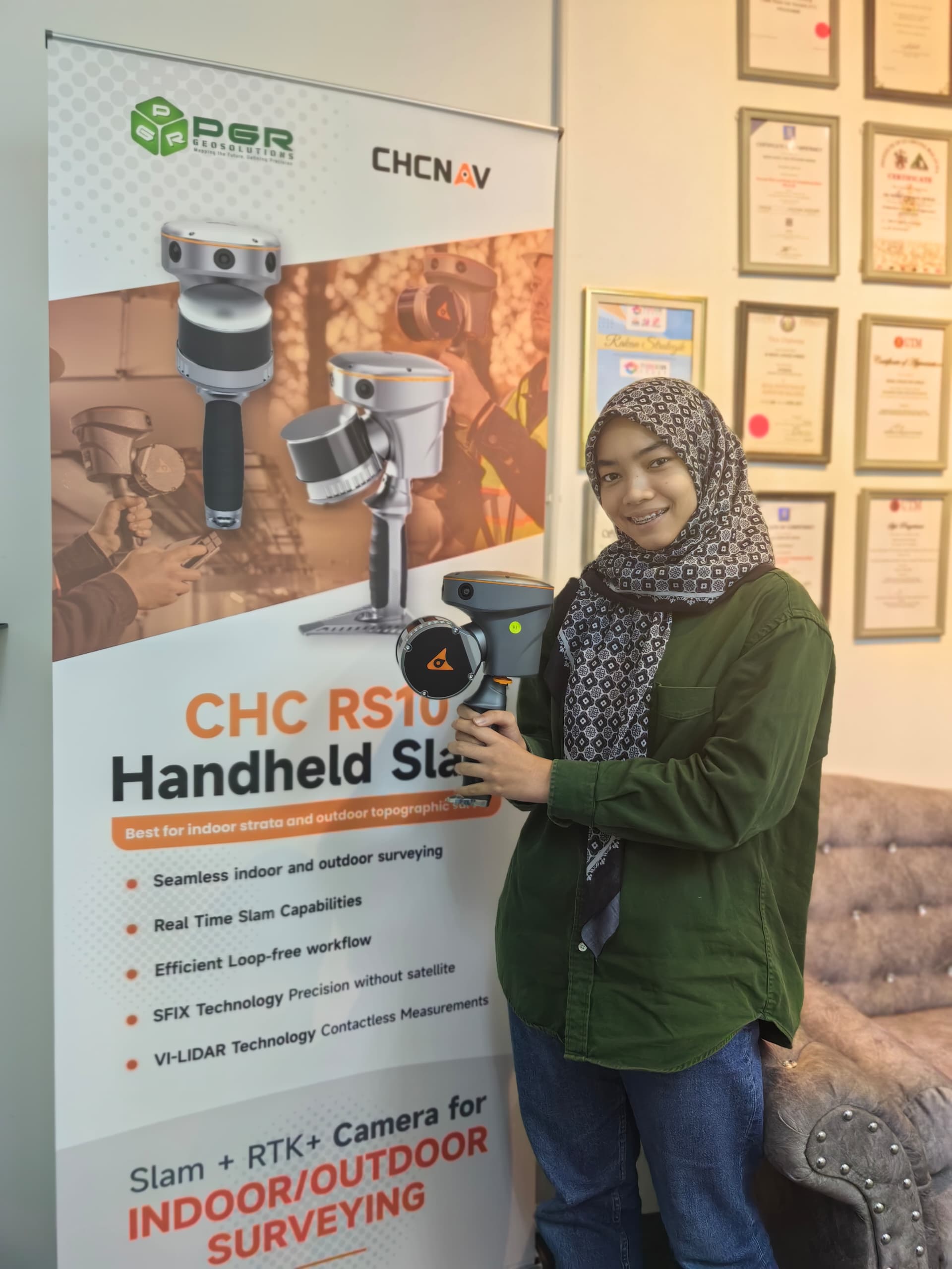
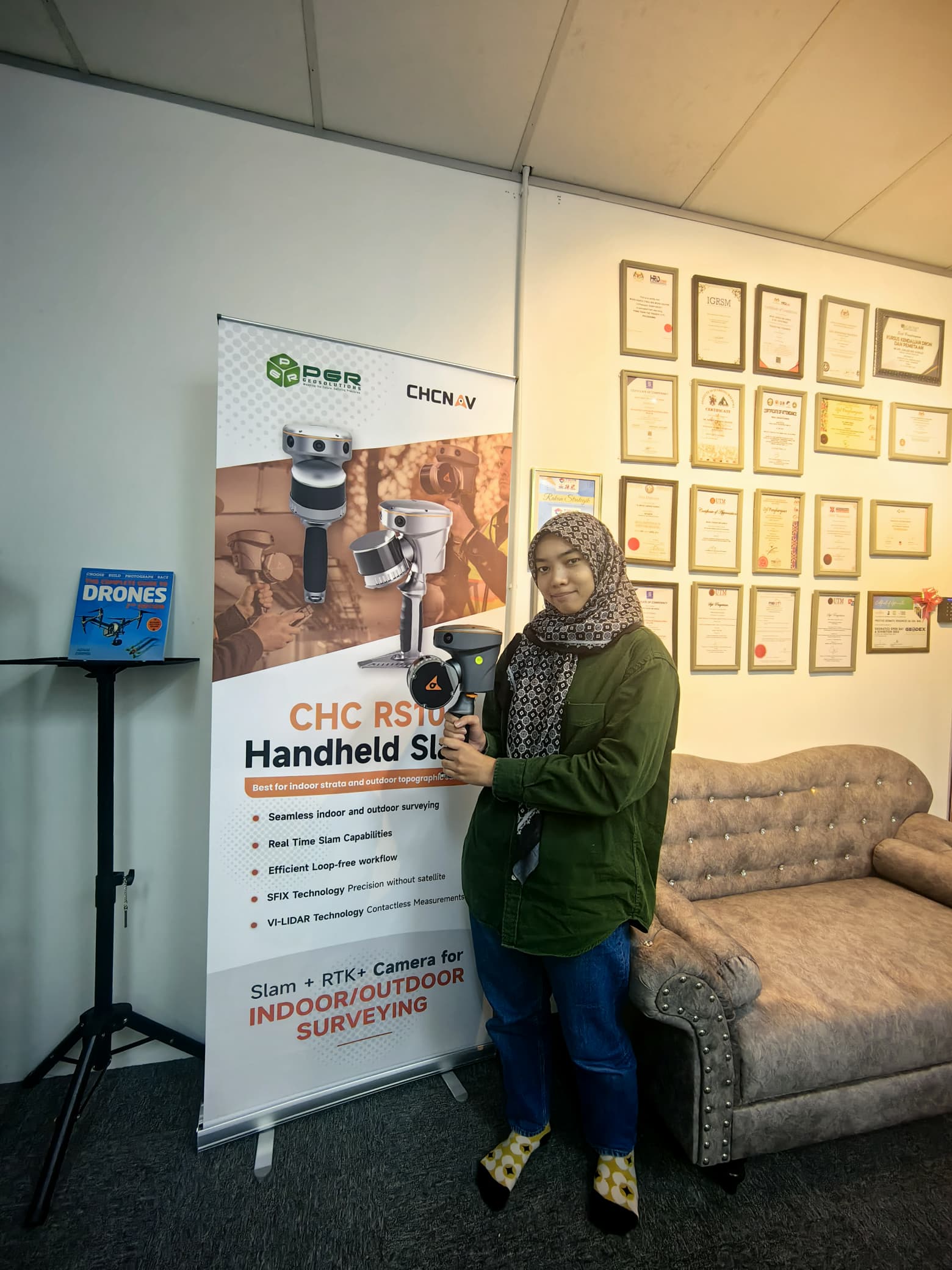
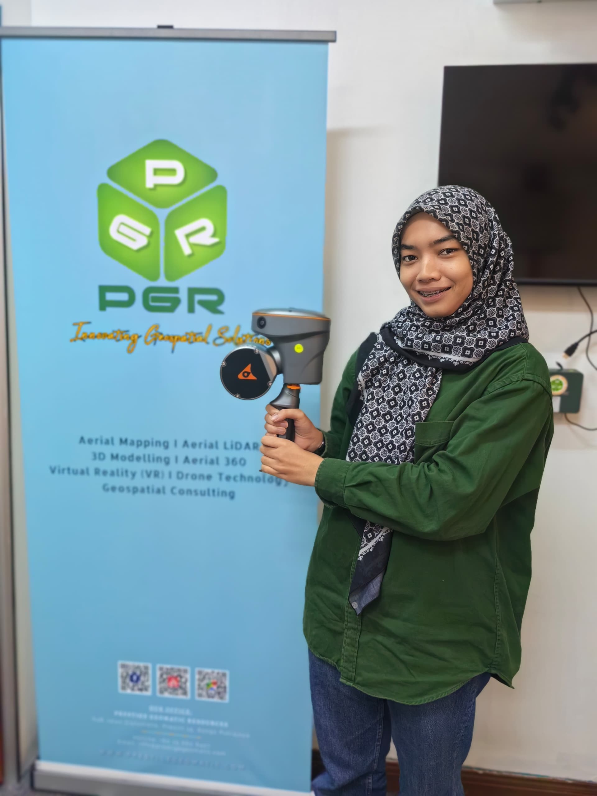
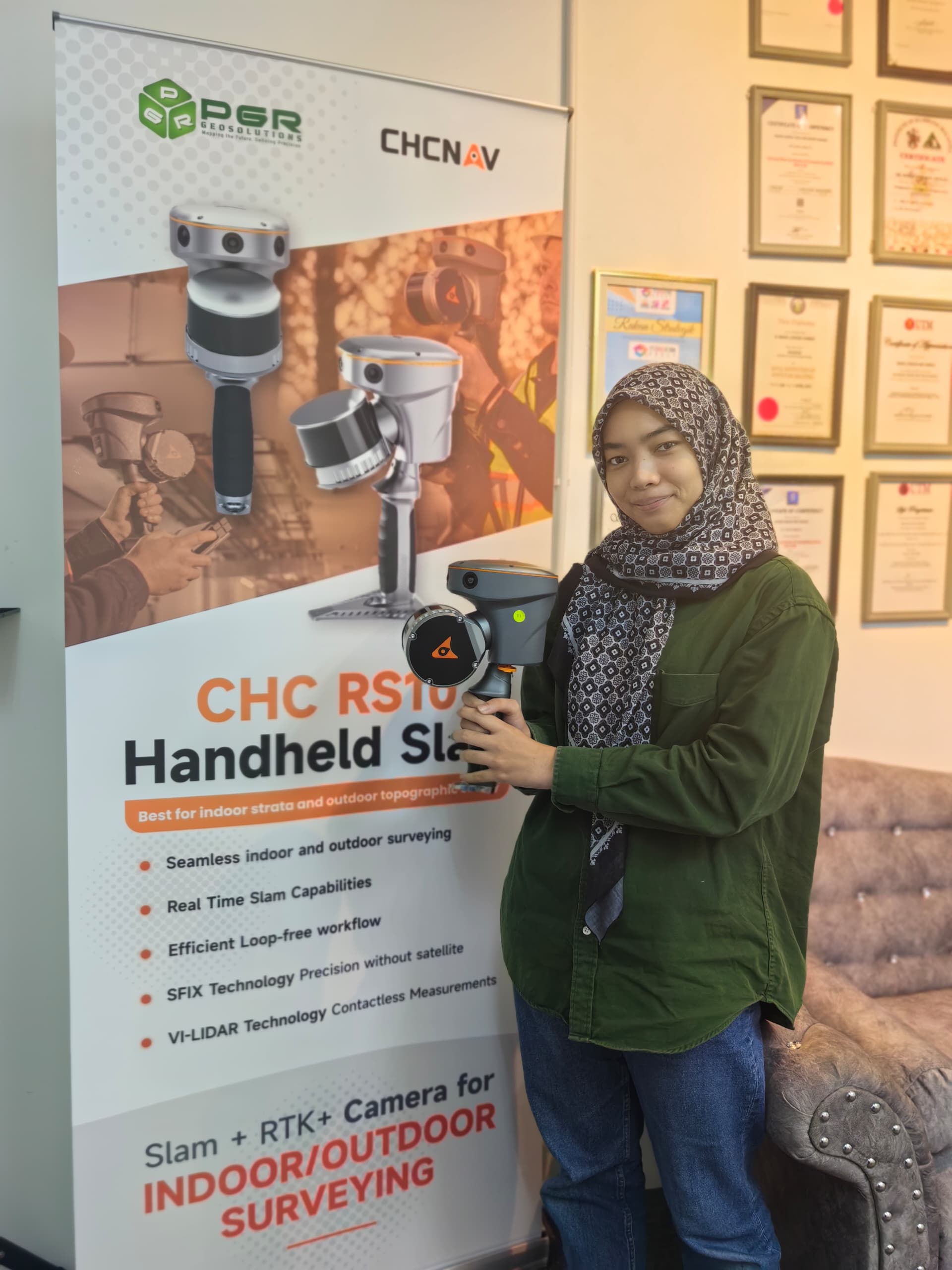
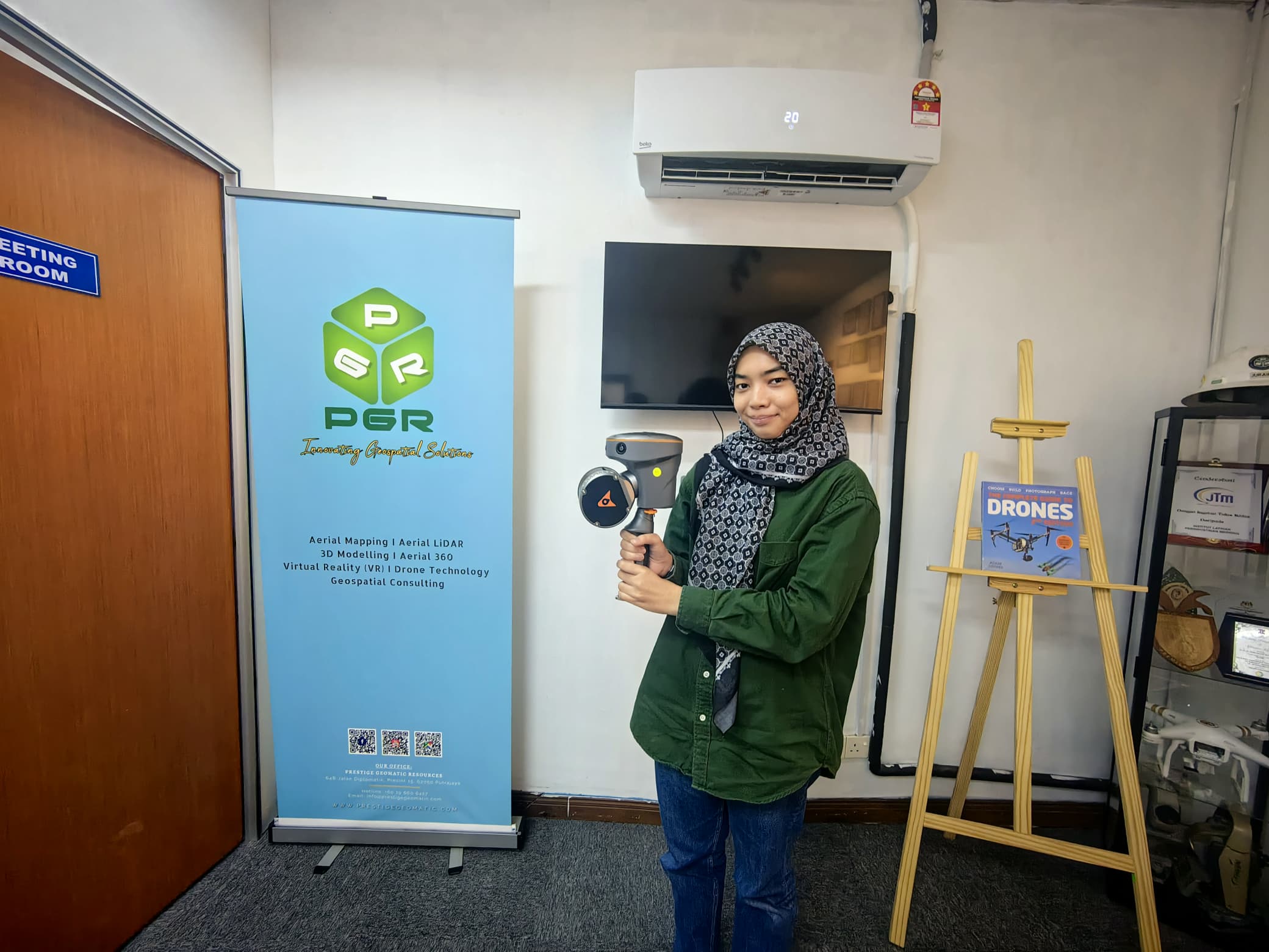
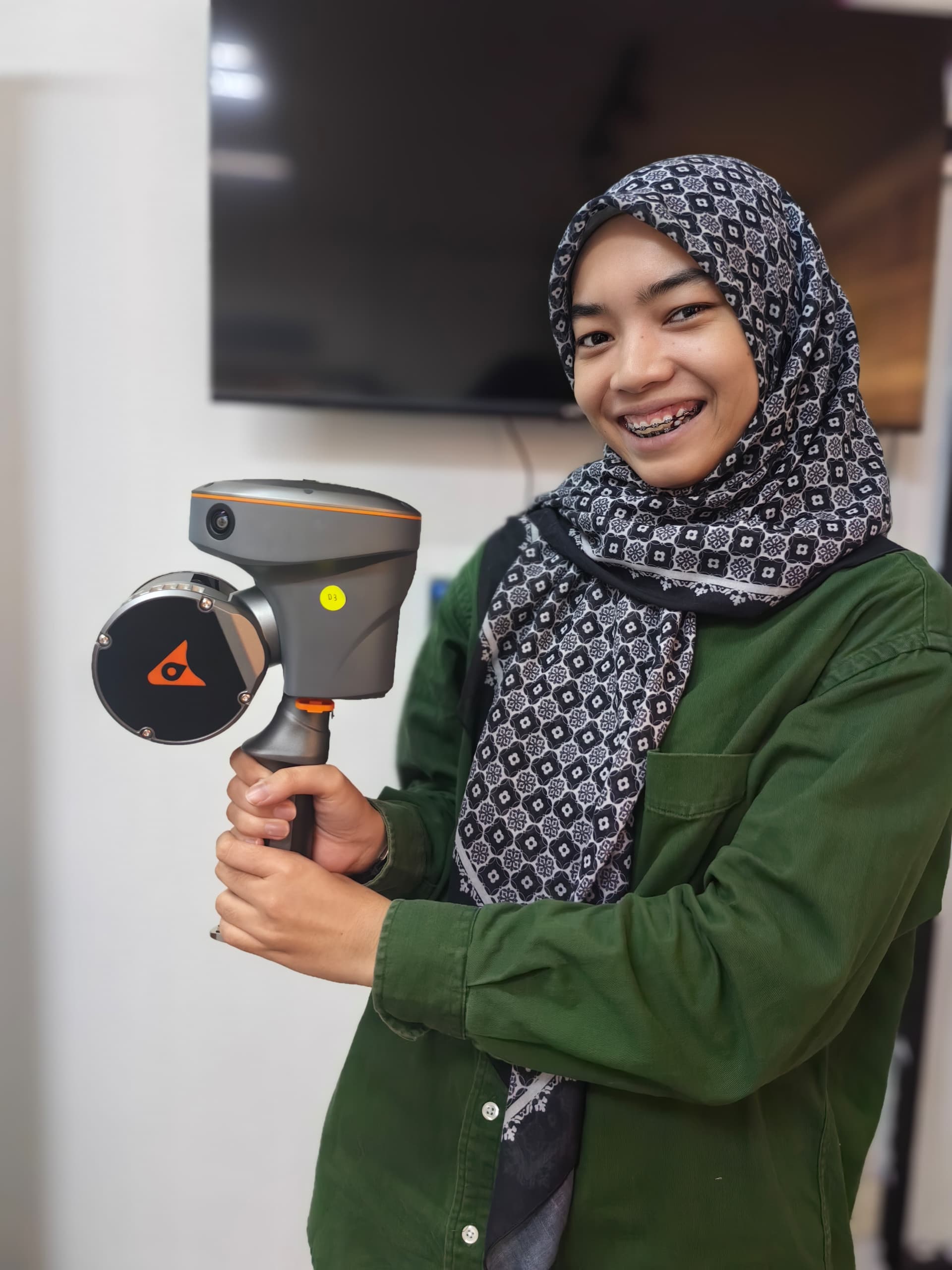
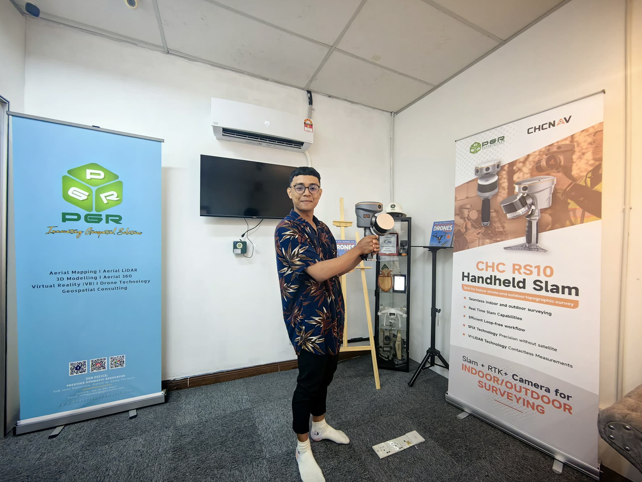
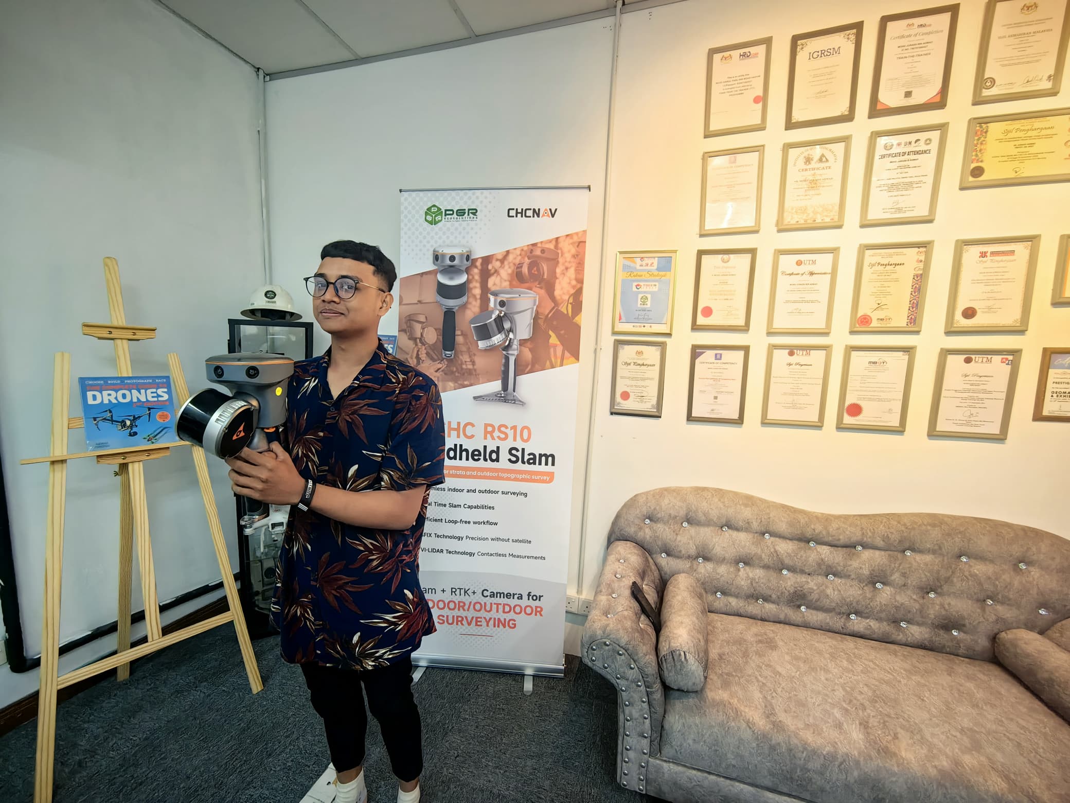
At Prestige Geomatic Resources, we are always on the forefront of innovation—bringing the most advanced geospatial tools to the industry. We are proud to introduce the 𝗖𝗛𝗖𝗡𝗔𝗩 𝗥𝗦𝟭𝟬 𝗛𝗮𝗻𝗱𝗵𝗲𝗹𝗱 𝗦𝗟𝗔𝗠, a cutting-edge solution for real-time, high-accuracy 3D mapping, even in the most GPS-denied environments.
Whether you’re working indoors, underground, or in dense urban spaces, the RS10 is built to capture reality faster, easier, and more accurately than ever before.
🔍 What is CHCNAV RS10 Handheld SLAM?
The RS10 is a handheld 3D mobile mapping system powered by SLAM (Simultaneous Localization and Mapping) technology. It enables users to generate accurate 3D point cloud data without needing GNSS signals. This makes it perfect for indoor environments, narrow alleys, industrial facilities, tunnels, and more.
💡 Why Choose the RS10?
Here’s why industry professionals are switching to CHCNAV RS10 for rapid mapping and digital twin generation:
✅ High Mobility
No tripod. No base station. Just grab and scan. The lightweight and ergonomic design allows operators to move freely and capture data in real-time—even in complex or constrained environments.
✅ High Accuracy
The RS10 delivers centimeter-level precision with its integrated LiDAR scanner and advanced inertial navigation system. This makes it reliable for detailed inspections, modeling, and infrastructure documentation.
✅ SLAM Technology Inside
Traditional GNSS-based systems fail indoors or underground. RS10 uses advanced SLAM algorithms to track its position and map surroundings simultaneously, ensuring reliable results even without satellite signals.
✅ Fast Data Collection & Processing
With real-time visualization and fast post-processing workflows, field-to-office turnaround is significantly reduced. Export clean, high-resolution point clouds in industry-standard formats for CAD, BIM, or GIS platforms.
✅ User-Friendly Interface
Intuitive software makes it easy for both beginners and seasoned professionals to operate. No specialized training needed to get started.
🏗️ Key Applications
The CHCNAV RS10 is ideal for a wide range of industries and use cases, including:
Construction & As-Built Surveys
Quickly scan job sites for progress monitoring and quality control.Facility & Asset Management
Create digital twins of buildings and infrastructures for planning, maintenance, and inspection.Urban & Heritage Mapping
Preserve cultural assets and urban features with detailed 3D models.Mining & Tunnel Mapping
Capture complex underground spaces without relying on GPS signals.Disaster Assessment
Rapidly document post-disaster conditions in areas where conventional surveying tools may not work.
🎯 Summary: RS10 = Speed, Simplicity, and Precision
In today’s fast-paced world, speed and accuracy are crucial in mapping and geospatial workflows. The CHCNAV RS10 Handheld SLAM offers an all-in-one solution that empowers teams to scan more, process faster, and deliver better results—with minimal equipment and training.
📞 Ready to Experience the Power of SLAM?
If you’re in the construction, geospatial, urban planning, or infrastructure sector, it’s time to upgrade your mapping capabilities with the CHCNAV RS10.
👉 Contact Prestige Geomatic Resources today to request a demo, explore purchase or rental options, or find out how this next-gen mapping device can transform your workflow.
📧 Email: info@prestigegeomatic.com
🌐 Visit: www.prestigegeomatic.com
📍 #SLAMMapping #CHCNAVRS10 #3DMapping #GeospatialInnovation #DigitalTwin #DroneMapping #ConstructionTech #MalaysiaSurveying
